Build a picture before laying cable
Route planning begins with an objective: connect selected landing points with a reliable system that can be built, operated and maintained. Planners develop candidate corridors, then gather information about the sea floor and the activities taking place above it. Bathymetric data describe depth and shape; geophysical surveys help identify seabed features and sediment layers; geotechnical work can provide information about the material itself. Existing pipelines, cables, protected areas, shipping lanes and fishing grounds may all influence the route.
Maps are only a starting point. A line shown on a chart may conceal a steep slope, exposed rock, mobile sediment or a crowded crossing. Survey equipment and specialist interpretation turn an abstract path into a more detailed engineering picture. Teams use that picture to assess construction feasibility, choose cable types, identify potential burial areas and plan how a vessel can safely lay the cable.
Route engineering is iterative. A new survey result can shift a route, change the installation method or call for additional study. The best corridor is rarely defined by one criterion alone. Shorter routes may save cable length, while a longer path may avoid difficult terrain or reduce exposure to hazards. The choice reflects lifecycle cost, performance, environmental and regulatory constraints, and the ability to repair the system later.
Navigate a shared sea
Submarine cable routes cross spaces with different legal and operational frameworks. In territorial waters, project teams must work with relevant national authorities and permitting processes. Beyond territorial seas, the United Nations Convention on the Law of the Sea provides an important international framework for submarine cables, subject to its provisions and the rights and duties of states. National rules, environmental requirements and local maritime practices still matter in real projects.
Coordination is practical as well as legal. Cable projects may need to cross existing infrastructure, avoid sensitive habitats or coordinate with port and shipping operations. A crossing is designed and documented so that both assets can coexist as safely as possible. Operators and other infrastructure owners need accurate records, because knowing where a cable lies can influence future marine activity and later repairs.
Environmental review can shape both route and methods. Surveying and installation teams consider potential disturbance, seabed conditions and applicable protective measures. The details vary by location and permission. There is no single universal checklist that replaces local assessment, and route planners must distinguish general good practice from requirements that apply specifically to a jurisdiction.
Choose protection by exposure
The seabed is not uniform, and neither should cable protection be assumed to be uniform. Near shore, the cable may encounter anchors, fishing gear, surf-zone movement and other human or physical activity. A project may specify armoured cable and burial in suitable areas to reduce exposure. Farther offshore and in deep water, different risks and installation demands can make a lighter cable construction appropriate.
Burial is often achieved with a plough, water jetting tool or remotely operated equipment, depending on the seabed and project. A plough can create a narrow trench and place cable within it as the vessel moves. Jetting equipment uses water to fluidise sediment so the cable can settle into the seabed. These are not interchangeable answers to every condition: rock, slope, sediment type, water depth and operational limits affect the method.
Where burial is not feasible or useful, the cable may be laid on the seabed. Engineers may route around obstacles or design the cable and installation operation for the expected conditions. Protection is a risk-management measure, not a promise that damage is impossible. Accurate route records, monitoring and communication with marine users remain important after installation.
The route is a compromise made legible: depth, ground, activity and repair access all leave their mark.
Lay a continuous line
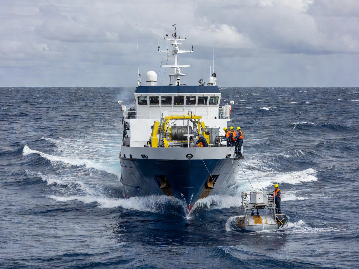
During cable laying, a specialist vessel follows the planned route while paying out cable at a controlled rate. Navigation systems help keep the vessel on line; equipment monitors cable tension, speed and other operating parameters. A cable engine or linear cable engine manages the movement of cable, while tanks or carousels store the length awaiting deployment. The working team coordinates vessel movement, water depth, cable handling and any burial tool in use.
Shore-end operations require additional coordination. A cable may be brought from an offshore vessel toward the landing point, passed through a beach duct or other prepared route and connected toward a landing station. The coastal transition has its own demands, including access, protection and interface with terrestrial infrastructure. The landfall is a small geographic feature in a global system, but it can be a significant construction operation.
At sea, the planned route may need adjustment to respond to conditions or newly observed information. Changes are documented and assessed rather than treated as casual steering. Installation records, cable positions and burial information become important reference material for system owners, future marine users and repair teams. The route plan continues to matter long after the vessel has left.
After the vessel departs
Commissioning verifies that the installed system performs as intended. Teams test optical and electrical properties, check connections at landing stations and establish operational baselines. These measurements help distinguish normal behavior from later changes. The cable route is also recorded in the systems and charts used by operators and relevant authorities.
Ongoing stewardship can include collaboration through the International Cable Protection Committee, whose work promotes protection of submarine cables, and reference to standards and recommendations from the International Telecommunication Union. The International Hydrographic Organization supports nautical charting and hydrographic practice, while national marine agencies have their own roles in licensing, surveying and maritime information.
Places such as the English Channel, the North Atlantic, the Strait of Gibraltar and the South China Sea illustrate how routes encounter different geography and levels of maritime activity. A route should always be understood in its own context; a design suitable for one stretch is not automatically appropriate elsewhere. Continue to The Work of a Cable Repair to see how survey records and route knowledge matter when a line needs restoration.